
Grand Bahama is the northernmost island in the Bahamas and the closest to the United States. Its westernmost point sits 56 nautical miles from Palm Beach, Florida. That proximity shaped everything about the island. It made Grand Bahama a rum running port during Prohibition and a blockade runner base during the American Civil War. It also made it attractive to Wallace Groves, an American financier who in 1955 signed the Hawksbill Creek Agreement with the Bahamian government and built Freeport from scratch on 50,000 acres of pine forest and swamp. The city's population was 150 in 1956. It became the second most populous city in the Bahamas.
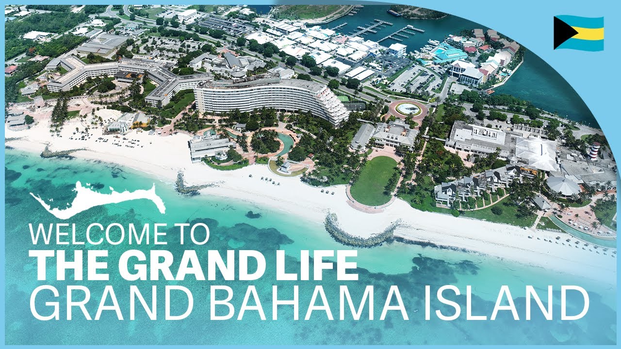
Freeport and its seafront district Lucaya are where most visitors stay. Freeport handles the commerce and the port. Lucaya handles the beaches, the restaurants, and the Port Lucaya Marketplace, a waterfront hub of shops and restaurants built around a working marina. The two areas run together along the island's southern shore.
- Nearest airport: Grand Bahama International Airport, Freeport (FPO / MYGF)
- Climate: Tropical monsoon. Hot and wet May to October, warm and dry November to April.
Why people visit Grand Bahama
The main draw is Lucayan National Park, located about 40 kilometers east of Freeport. The park contains one of the world's longest charted underwater cave systems, with more than 10 kilometers of tunnels mapped so far. Two caves are open to visitors: Ben's Cave and Burial Mound Cave. In 1986, archaeologists found the skeletal remains of six Lucayans on the floor of Burial Mound Cave, the first confirmed evidence of pre-Columbian settlement on Grand Bahama. In 1979, a biologist diving in Ben's Cave discovered a previously unknown class of crustacean, Remipedia, blind and adapted to total darkness, which had lived in the cave system for millions of years. The park also contains all six of the Bahamas' terrestrial vegetation zones within its 40 acres.
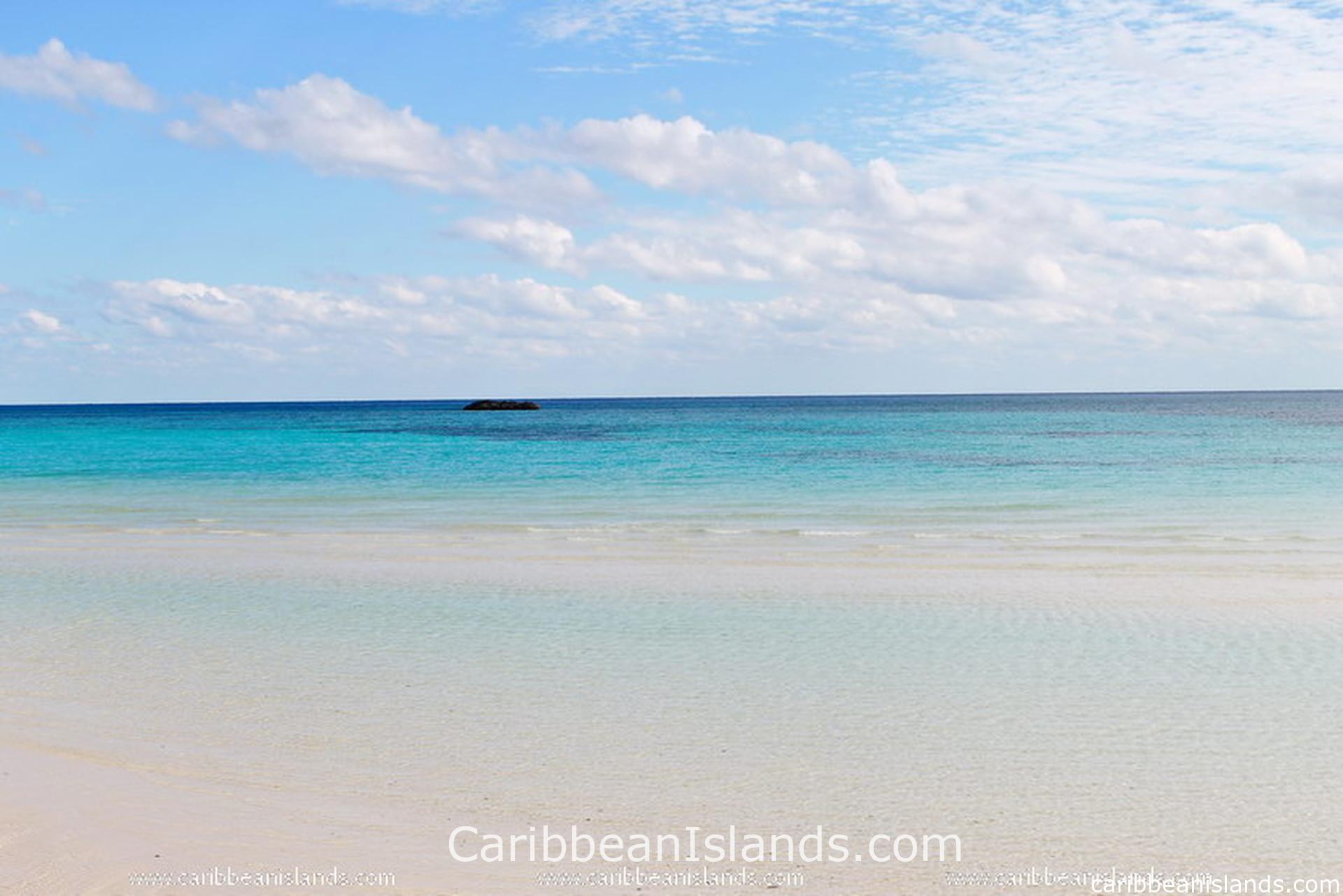
Gold Rock Beach sits inside Lucayan National Park. It appeared in two of the Pirates of the Caribbean films. The beach is reached by a boardwalk through mangroves and is less visited than the beaches near Freeport, which makes it one of the quieter stretches of sand on the island.
Diving and snorkeling off Grand Bahama draw visitors who want reef access close to a city. The reefs here are less developed than those off Andros but easier to reach from Freeport. The Dolphin Experience at UNEXSO, the Underwater Explorer's Society, is one of the few places in the Bahamas where visitors can swim with Atlantic bottlenose dolphins in open water.
Video about Grand Bahama Island
What made Grand Bahama
The Lucayan Taíno lived on Grand Bahama before Columbus. The Spanish removed them after 1492, and the island stood largely empty for centuries. Small settlements appeared by the 1800s, sustained by fishing and salvage. West End became a blockade running port during the American Civil War, 55 miles from Confederate territory. During Prohibition it ran liquor to the United States. Neither boom lasted. By 1955, Grand Bahama's population was still only a few hundred people.
Wallace Groves changed that. The Hawksbill Creek Agreement gave his Grand Bahama Port Authority control over a vast tract of land in exchange for building a city with full infrastructure. Freeport grew rapidly through the 1960s and 1970s, attracting industry, tourism, and a free trade zone that still operates under the agreement, now extended to 2054.
On September 1, 2019, Hurricane Dorian made landfall on Grand Bahama as a Category 5 storm and stalled over the island for 12 hours. Storm surges reached between 12 and 18 feet. Nearly half the homes on the island were damaged or destroyed. The Grand Bahama International Airport was almost completely destroyed and was subsequently purchased by the Bahamian government for one Bahamian dollar. The island is recovering and remains open to visitors, but Dorian fundamentally changed its scale and infrastructure.
What you find
Grand Bahama is flat, like all Bahamian islands, and long. The island runs approximately 153 kilometers west to east and no more than 24 kilometers wide at any point. Pine forests cover much of the interior. The southern shore holds the beaches, the reefs, and the two main population centers. The northern shore is largely undeveloped. West End, the island's administrative capital, sits at the western tip and retains the quieter character of an older Bahamian settlement.
The islands of the Bahamas
Grand Bahama Island

Abacos, Bahamas

Exumas, Bahamas

Eleuthera and Harbour Island, Bahamas

Bimini, Bahamas

Andros, Bahamas

Berry Islands, Bahamas

Cat Island, Bahamas

Long Island, Bahamas

San Salvador, Bahamas

Inagua, Bahamas

Crooked & Acklins Islands, Bahamas

Mayaguana, Bahamas

The Bahamas