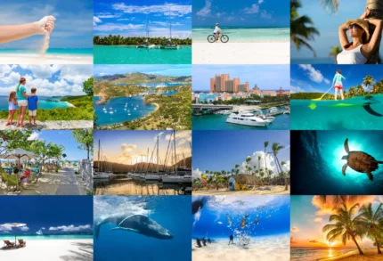
Mexico's huge, way bigger than any Caribbean island, and it touches three different waters: the Pacific, the Gulf of Mexico, and the Caribbean. Only one corner of it is actually Caribbean, though: Quintana Roo, the state down on the eastern side of the Yucatán, where the whole coast looks out onto the Caribbean Sea. That's the part people mean by the Mexican Caribbean.
Riviera Maya, with most of the famous spots:
Cancún,
Cozumel,
Playa del Carmen,
Tulum
Tulum's the only big Maya city built right on the coast, with the ruins sitting on a cliff over the sea. Just inland you've got cenotes, these natural freshwater sinkholes the Maya treated as sacred, and they're some of the best places to swim anywhere on the coast. Go a bit deeper into the peninsula and you reach the really big Maya cities, Chichén Itzá and Uxmal — the pyramids everyone knows — and they're an easy trip from the coast.
Out in the water, Cozumel sits right on the Mesoamerican Reef, the biggest coral reef in the Americas, which is why divers love it — the water's incredibly clear. There are little islands too, like Isla Mujeres and Holbox, and further south there's Sian Ka'an, a protected reserve of lagoons, wetlands and reef that's still completely wild. So there's a lot more here than just the resorts.
Mexico isn't a Caribbean country — but this coast absolutely is. Quintana Roo is just one more edge of the same sea: Maya, blue, and Caribbean through and through.
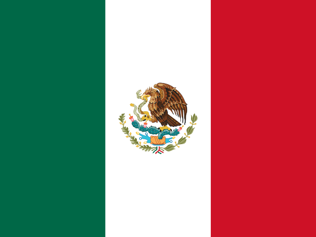
Flag
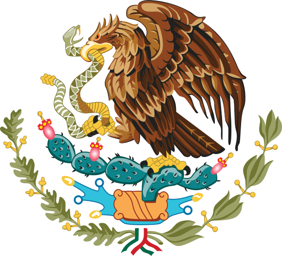
Armorial
Word: Tequila
Meaning: agave spirit
Administrative Divisions
31 states and 1 division.
States:
Aguascalientes
Baja California
Baja California Sur
Campeche
Chiapas
Chihuahua
Coahuila
Colima
Durango
Guanajuato
Guerrero
Hidalgo
Jalisco
Michoacán
Morelos
Nayarit
Nuevo León
Oaxaca
Puebla
Querétaro
Quintana Roo
San Luis Potosí
Sinaloa
Sonora
State of Mexico
Tabasco
Tamaulipas
Tlaxcala
Veracruz
Yucatán
Zacatecas
Division:
MX-DIF
Administrative divisions of Mexico map
Mexico is a Country on the Continental Caribbean located in the North America sub-region in the continent of Americas.
0750 km (466 mi)1500 km (932 mi)2250 km (1398 mi)3000 km (1864 mi)
Height
01503006001 0001 5002 0002 5003 000+ m
04929841 9703 2804 9206 5608 2009 840+ ft
0 m (0 ft), 150 m (492 ft), 300 m (984 ft), 600 m (1970 ft), 1000 m (3280 ft), 1500 m (4920 ft), 2000 m (6560 ft), 2500 m (8200 ft), above 3000 m (9840 ft)
Sea depth
01506001 8003 2005 200+ m
04921 9705 91010 50017 060+ ft
0 m (0 ft), 150 m (492 ft), 600 m (1970 ft), 1800 m (5910 ft), 3200 m (10500 ft), deeper than 5200 m (17060 ft)