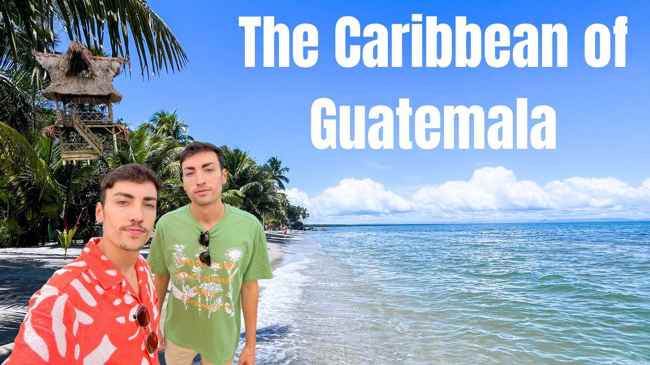
Guatemala is a Pacific, highland, and Maya country. It touches the Caribbean only on a small stretch of coast in the department of Izabal, between Belize and Honduras.
The Caribbean ports are Puerto Barrios and Santo Tomás de Castilla. The Caribbean culture is in Lívingston, a town reached only by boat. Lívingston is home to Guatemala's Garifuna, the same Afro-Indigenous people found in Belize, Honduras, and Nicaragua.
The coast is both Garifuna and Maya. The Q'eqchi' Maya live across the Izabal lowlands, so the culture is a mix of the two.
The way in is the Río Dulce. The river runs from Lake Izabal to the sea through a jungle gorge and ends at Lívingston.
Guatemala's Caribbean coast is small. It is Garifuna, and it shares the same sea as the rest of this shore.
Flag
Armorial
Word: Maya
Meaning: ancient civilization
Administrative Divisions
22 divisions:
GT-AV
GT-BV
GT-CM
GT-CQ
GT-ES
GT-GU
GT-HU
GT-IZ
GT-JA
GT-JU
GT-PE
GT-PR
GT-QC
GT-QZ
GT-RE
GT-SA
GT-SM
GT-SO
GT-SR
GT-SU
GT-TO
GT-ZA
Administrative divisions of Guatemala map
Guatemala is a Country on the Continental Caribbean located in the Continental Caribbean sub-region in the continent of Americas.
0100 km (62 mi)200 km (124 mi)300 km (186 mi)400 km (249 mi)
Height
01504007501 0001 5002 5003 0004 000+ m
04921 3102 4603 2804 9208 2009 84013 120+ ft
0 m (0 ft), 150 m (492 ft), 400 m (1310 ft), 750 m (2460 ft), 1000 m (3280 ft), 1500 m (4920 ft), 2500 m (8200 ft), 3000 m (9840 ft), above 4000 m (13120 ft)
Sea depth
01506001 8003 2005 200+ m
04921 9705 91010 50017 060+ ft
0 m (0 ft), 150 m (492 ft), 600 m (1970 ft), 1800 m (5910 ft), 3200 m (10500 ft), deeper than 5200 m (17060 ft)
generally hot and humid; monsoonal-type rainy season (June to November) with southwesterly winds; dry season (December to May) with northeasterly harmattan winds