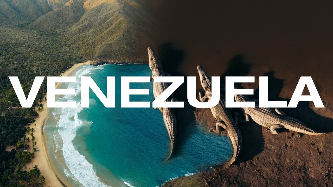
Venezuela is a Spanish-speaking country in South America with a long north coast on the Caribbean Sea. That whole coast is Caribbean, and so are the many islands that lie off it.
The coast was the heart of the Spanish Main. For centuries this was the Spanish Caribbean shore, the one pirates raided and treasure fleets sailed past, the same colonial sea as Cartagena in Colombia and Portobelo in Panama.
Maracaibo is the big port of the west. It sits on a lake that opens into the Caribbean through the Gulf of Venezuela, and it is the home of gaita, a music of the coast. La Guaira, below the capital, has been the country's main Caribbean harbour since colonial times.
East of the capital lies Barlovento, a region of African-descended communities. Their drumming, the tambores, and the festival of San Juan are Afro-Caribbean, part of the same African heritage carried along this whole shore.
So Venezuela's north coast is Caribbean from end to end. It shares the sea, the islands, the African heritage, and the colonial history of the rest of this shore.
Venezuela's Caribbean islands
Venezuela has more Caribbean islands than most people can imagine. The big one everybody knows is Margarita, which with its small neighbours Coche and Cubagua makes up Nueva Esparta, the country's only island state. Everything else out there belongs to a separate group called the Federal Dependencies, run straight from the capital. There are around 600 of them, but most are tiny, empty rocks. These are the ones worth knowing:
- Los Roques — the famous archipelago. A national park of coral cays and reefs, the closest thing Venezuela has to a postcard Caribbean.
- La Tortuga — the largest of the Federal Dependencies, and the second-biggest island in the country after Margarita. Empty, with turtle-nesting beaches.
- Las Aves and La Orchila — reef islands to the east, full of seabirds and some of the best coral in the country.
- La Blanquilla and Los Testigos — small island groups in open water, known for clear diving.
- Los Monjes — bare rocks far to the west, near the Gulf of Venezuela.
- Isla de Aves — barely an island at all, a speck of sand 700 km out. It matters because it stretches Venezuela's sea rights far across the Caribbean, and storms can wash right over it.
Video of the Caribbean coast in Venezuela