
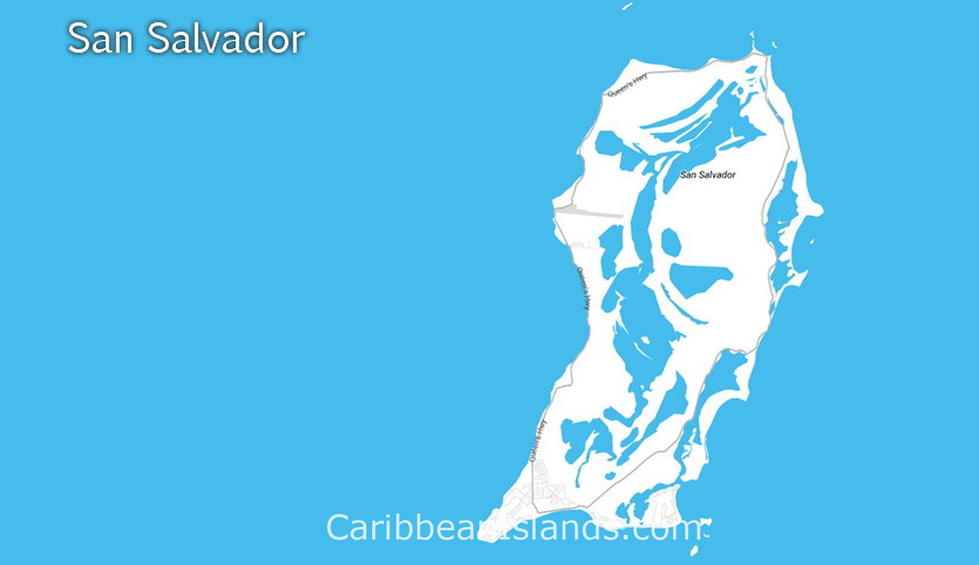
San Salvador दक्षिण-पूर्वी बहामास में स्थित एक छोटा सा द्वीप है, जो 12 मील लंबा और 5 मील चौड़ा है। यह ग्रेट बहामा बैंक के पूर्व में अपने स्वयं के चूना पत्थर के मंच पर अकेला स्थित है। इसकी जनसंख्या लगभग 800 लोगों की है। यह द्वीप 12 अक्टूबर, 1492 को अमेरिका में क्रिस्टोफर कोलंबस के पहले आगमन के संभावित स्थल के रूप में सबसे अधिक जाना जाता है। इतिहासकारों द्वारा इस पहचान पर दो शताब्दियों से बहस चल रही है, लेकिन यही वह तथ्य है जो इस द्वीप को परिभाषित करता है और इसके भ्रमण और समझ के हर पहलू को आकार देता है।
- निकटतम हवाई अड्डा: Cockburn Town Airport (ZSA / MYSM), Cockburn Town
- जलवायु: उष्णकटिबंधीय। दिसंबर से अप्रैल तक गर्म और शुष्क, जून से अक्टूबर तक गर्म और आर्द्र।
लोग San Salvador क्यों आते हैं
कोलंबस से जुड़ाव इसका मुख्य आकर्षण है। यहाँ रहने वाले लुकायन ताइनो (Lucayan Taíno) लोग इस द्वीप को गुआनाहानी (Guanahani) कहते थे, जिसका अर्थ है 'छोटी ऊपरी जल भूमि'। कोलंबस 12 अक्टूबर, 1492 को यहाँ पहुँचा, उसने द्वीप पर स्पेन का दावा किया और ईश्वर के प्रति आभार व्यक्त करते हुए इसका नाम बदलकर San Salvador (पवित्र उद्धारकर्ता) रख दिया। द्वीप भर में चार स्मारक प्रस्तावित लैंडिंग स्थलों को चिह्नित करते हैं। इनमें से किसी की भी सटीक स्थान के रूप में पुष्टि नहीं हुई है। सबसे अधिक देखा जाने वाला स्थल लॉन्ग बे में स्थित एक सफेद क्रॉस है, जिसे व्यापक रूप से संभावित स्थल माना जाता है। तट के पास एक पानी के नीचे का स्मारक उस स्थान को चिह्नित करता है जहाँ माना जाता है कि कोलंबस का बेड़ा लंगर डाले हुए था।
डाइविंग यहाँ आने का दूसरा कारण है। द्वीप के चारों ओर का शेल्फ तट से थोड़ी ही दूरी पर लगभग 40 मीटर से 4 किलोमीटर से अधिक गहरा हो जाता है। द्वीप के चारों ओर 50 से अधिक डाइव साइटें हैं, जिनमें दीवारें, चट्टानें और ऐतिहासिक जहाज के मलबे शामिल हैं।
ग्राहम हार्बर के उत्तरी तट पर स्थित Gerace Research Centre, भूविज्ञान, जीव विज्ञान, पारिस्थितिकी और पुरातत्व के लिए साल भर चलने वाले फील्ड रिसर्च स्टेशन के रूप में कार्य करता है। हर साल 1,000 से अधिक छात्र और शोधकर्ता इसका उपयोग करते हैं। यह 1957 और 1959 के बीच निर्मित एक पूर्व अमेरिकी नौसेना LORAN स्टेशन में स्थित है।
San Salvador का निर्माण कैसे हुआ
जब कोलंबस पहुँचा, तब लुकायन ताइनो लोग गुआनाहानी में रहते थे। उस संपर्क के लगभग 20 वर्षों के भीतर, उन्हें गुलाम बनाकर हिस्पानियोला ले जाया गया और वे यहाँ से समाप्त हो गए। यह द्वीप एक सदी से अधिक समय तक काफी हद तक खाली रहा। 17वीं शताब्दी में, अंग्रेजी समुद्री डाकू जॉर्ज वॉटलिंग ने यहाँ बसकर इसे अपना नाम दिया। 1680 के दशक से 1926 तक इस द्वीप को आधिकारिक तौर पर Watling's Island कहा जाता था।
1926 में नाम बदलने का श्रेय मुख्य रूप से बेनेडिक्टिन पुजारी फादर क्रिसोस्टम श्रेनर के प्रयासों को जाता है, जो वर्षों के ऐतिहासिक शोध के बाद इस निष्कर्ष पर पहुँचे थे कि Watling's Island ही कोलंबस का वास्तविक गुआनाहानी था। उन्होंने बहामास की संसद को San Salvador नाम बहाल करने के लिए राजी किया। वे खुद इस द्वीप पर बस गए और उन्हें वहीं दफनाया गया। उनकी कब्र आज भी San Salvador में देखे जाने वाले स्थलों में से एक है।
यह पहचान अभी भी तय नहीं है। 1986 में, नेशनल जियोग्राफिक सोसाइटी ने कोलंबस के लॉग के कंप्यूटर सिमुलेशन के आधार पर दक्षिण-पूर्व में लगभग 65 मील दूर स्थित Samana Cay के पक्ष में तर्क दिया था। Grand Turk का नाम भी प्रस्तावित किया गया है। यात्रा का मूल लॉग अब मौजूद नहीं है। जो बचा है वह कोलंबस को जानने वाले एक पुजारी द्वारा बनाई गई एक प्रति का 16वीं सदी का प्रतिलेखन है। विद्वान अभी भी इस पर असहमत हैं।
आपको यहाँ क्या मिलता है
San Salvador बहामास के अन्य द्वीपों की तुलना में असामान्य रूप से पहाड़ी है। यह एक उजागर चूना पत्थर की चोटी पर स्थित है जो समुद्र तल से 15,000 फीट ऊपर उठती है। इसके आंतरिक भाग में खारे पानी की झीलों की एक श्रृंखला है, जिनमें से सबसे बड़ी, Great Lake, उत्तर से दक्षिण तक 10 मील तक फैली हुई है और ऐतिहासिक रूप से बस्तियों के बीच मुख्य मार्ग थी। अब एक एकल पक्की सड़क द्वीप के चारों ओर घूमती है। द्वीप पर बसने वाले समुद्री डाकू के नाम पर रखा गया Watling's Castle का खंडहर दक्षिण में स्थित है। Cockburn Town में स्थित San Salvador Museum एक 19वीं सदी की जेल में बना है और इसमें लुकायन काल, कोलंबस प्रश्न और वृक्षारोपण युग को दर्शाया गया है। Rum Cay, जो कोलंबस का दूसरा लैंडिंग स्थल था और अब एक शांत द्वीप है, दक्षिण-पश्चिम में 20 मील की दूरी पर स्थित है और नाव द्वारा पहुँचा जा सकता है।
बहामास के द्वीप

ग्रैंड बहामा द्वीप

अबाकोस, बहामास

एक्सुमास, बहामास

एल्यूथेरा और हार्बर द्वीप, बहामास

बिमिनी, बहामास

एंड्रोस, बहामास

बेरी आइलैंड्स, बहामास

कैट आइलैंड, बहामास

लॉन्ग आइलैंड, बहामास
सैन साल्वाडोर, बहामास

इनागुआ, बहामास

क्रुक्ड और एकलिन्स द्वीप समूह, बहामास

मायागुआना, बहामास
