
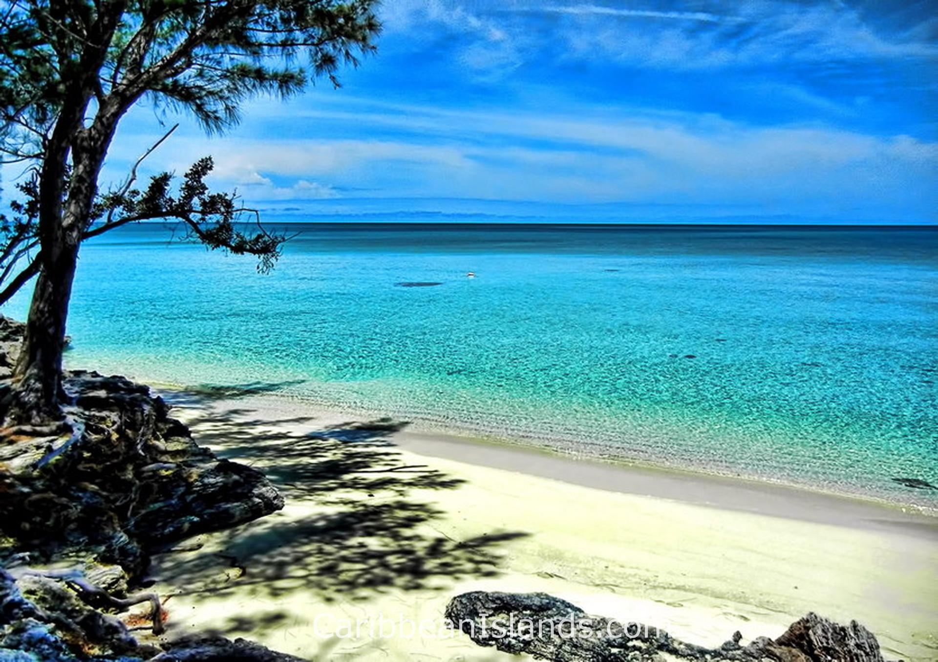
Eleuthera הוא אי ארוך וצר המשתרע על פני 180 קילומטרים מצפון לדרום, ורוחבו ברוב הנקודות אינו עולה על 1.6 קילומטרים. בנקודה הצרה ביותר שלו, גשר Glass Window Bridge, רוחבו עומד על כ-9 מטרים בלבד. השם נגזר מהמילה היוונית לחופש, וניתן לו על ידי ה-Eleutheran Adventurers, פוריטנים אנגלים שהתיישבו כאן בשנת 1648 כמתיישבים האנגלים הראשונים ב-Bahamas. האי Harbour Island שוכן ממש מול הקצה הצפון-מזרחי של Eleuthera, במרחק של חמש דקות הפלגה במעבורת. בעבר הוא שימש כבירת ה-Bahamas. ב-Harbour Island לא מורשית תנועת מכוניות; התושבים והמבקרים מתניידים באמצעות עגלות גולף.
- שדות תעופה קרובים: North Eleuthera Airport (ELH / MYEH), Governor's Harbour Airport (GHB / MYGB)
- אקלים: טרופי. חם ויבש בין דצמבר לאפריל, חם ולח בין יוני לאוקטובר.
מדוע אנשים מבקרים ב-Eleuthera וב-Harbour Island
החול הוורוד הוא הסיבה הראשונה לכך שרוב המבקרים מגיעים למקום. חוף Pink Sands Beach ב-Harbour Island משתרע לאורך שלושה מיילים לאורך החוף המזרחי. צבעו של החול נובע משברי אלמוגים וקונכיות המעורבבים בחול הלבן. אותו חול ורוד מופיע לאורך יותר מ-35 מיילים של האי המרכזי Eleuthera. המגזין Travel and Leisure דירג את Pink Sands Beach כאחד החופים הטובים בעולם.
גשר Glass Window Bridge הוא הסיבה השנייה. האי Eleuthera מצטמצם לרוחב של כ-9 מטרים בנקודה זו, והכביש חוצה רצועת סלע שמשני צדדיה האוקיינוס האטלנטי מצד אחד ומפרץ Bight of Eleuthera מהצד השני. צדו של האוקיינוס האטלנטי מתאפיין בצבע כחול עמוק וגלים סוערים, בעוד צדו של המפרץ מתאפיין במי טורקיז רגועים. הניגודיות נראית לעין מהכביש מבלי לצאת מהרכב, והיא כה בולטת עד שהיא נראית מלאכותית. המעבר המקורי היה קשת אבן טבעית, שאותה צייר הצייר האמריקאי Winslow Homer בשנת 1885. הקשת נהרסה על ידי הוריקנים, והגשר הנוכחי, העשוי בטון, ניזוק ושוקם פעמים רבות. גלי האוקיינוס האטלנטי, המכונים "rages" ומונעים על ידי סערות מרוחקות, יכולים להגיע לגובה של 30 מטרים בנקודה זו גם בימים בהירים.
ב-Eleuthera עדיין מגדלים אננס, מזן הנקרא sugarloaf. העיירה Gregory Town מארחת מדי יוני את פסטיבל האננס השנתי. החוות הן קטנות ומנוהלות על ידי משפחות, וחלקן מציעות סיורים למבקרים.
מה עיצב את Eleuthera ואת Harbour Island
ה-Eleutheran Adventurers הגיעו בשנת 1648 והיו למתיישבים האנגלים הראשונים ב-Bahamas. ספינתם נטרפה על שונית מול החוף הצפוני, והניצולים מצאו מחסה במערת Preacher's Cave, מערת גיר בקצה הצפוני של האי. חפירות אחרונות במערה חשפו שרידים של בני תרבות ה-Lucayan Taíno, עדות לכך שהם היו שם לפניהם. המתיישבים קראו לאי Eleuthera, מהמילה היוונית לחופש, כביטוי לשאיפתם להקים מושבה חופשית מרדיפות דתיות.
Harbour Island הפך לבירה המנהלית של ה-Bahamas תחת השלטון הבריטי והחזיק במעמד זה עד ש-Nassau גדלה מספיק כדי ליטול אותו. האדריכלות הקולוניאלית של Dunmore Town ב-Harbour Island משקפת היסטוריה זו. הרחובות צרים, הבתים צבועים בצבעי פסטל ובנויים צמוד לרחוב, והקצב לא השתנה באופן מורגש במשך מאתיים שנה.
מה תמצאו במקום
האי Eleuthera ארוך מספיק כדי שהצפון והדרום ירגישו כמו איים שונים. בצפון נמצאים גשר Glass Window Bridge, מערת Preacher's Cave, חוף הגלישה והמעבורת ל-Harbour Island. במרכז נמצאת Governor's Harbour, הבירה המנהלית, וחוות האננס של Gregory Town. בדרום נמצא חוף Lighthouse Beach, רצועה ארוכה של חול ורוד הפונה לאוקיינוס האטלנטי בקצה הדרומי ביותר של האי, אליו ניתן להגיע רק בדרך לא סלולה הדורשת רכב בעל הנעה כפולה. התגמול הוא קילומטרים של חוף כמעט ריק מאדם.
ב-Harbour Island ישנם שלושה מיילים של חול ורוד בצד האטלנטי ו-Dunmore Town בצד השני. רחובות העיירה צרים מדי עבור מכוניות. שונית מחסום משתרעת לאורך הצד האטלנטי של האי, והמים בין Harbour Island ל-Eleuthera רדודים מספיק כדי לראות את הקרקעית מסירה ברוב הנקודות.
האיים של ה-Bahamas

האי גרנד בהאמה

אבקו, בהאמה

אקסומאס, איי בהאמה
אלותרה והארבור איילנד, איי בהאמה

בימיני, איי בהאמה

אנדרוס, איי בהאמה

איי ברי, איי בהאמה

אי קאט, איי בהאמה

לונג איילנד, איי בהאמה

סן סלוודור, איי בהאמה

אינאגואה, איי בהאמה

איי קרוקד ואקלינס, איי בהאמה

מאיאגואנה, איי בהאמה
