
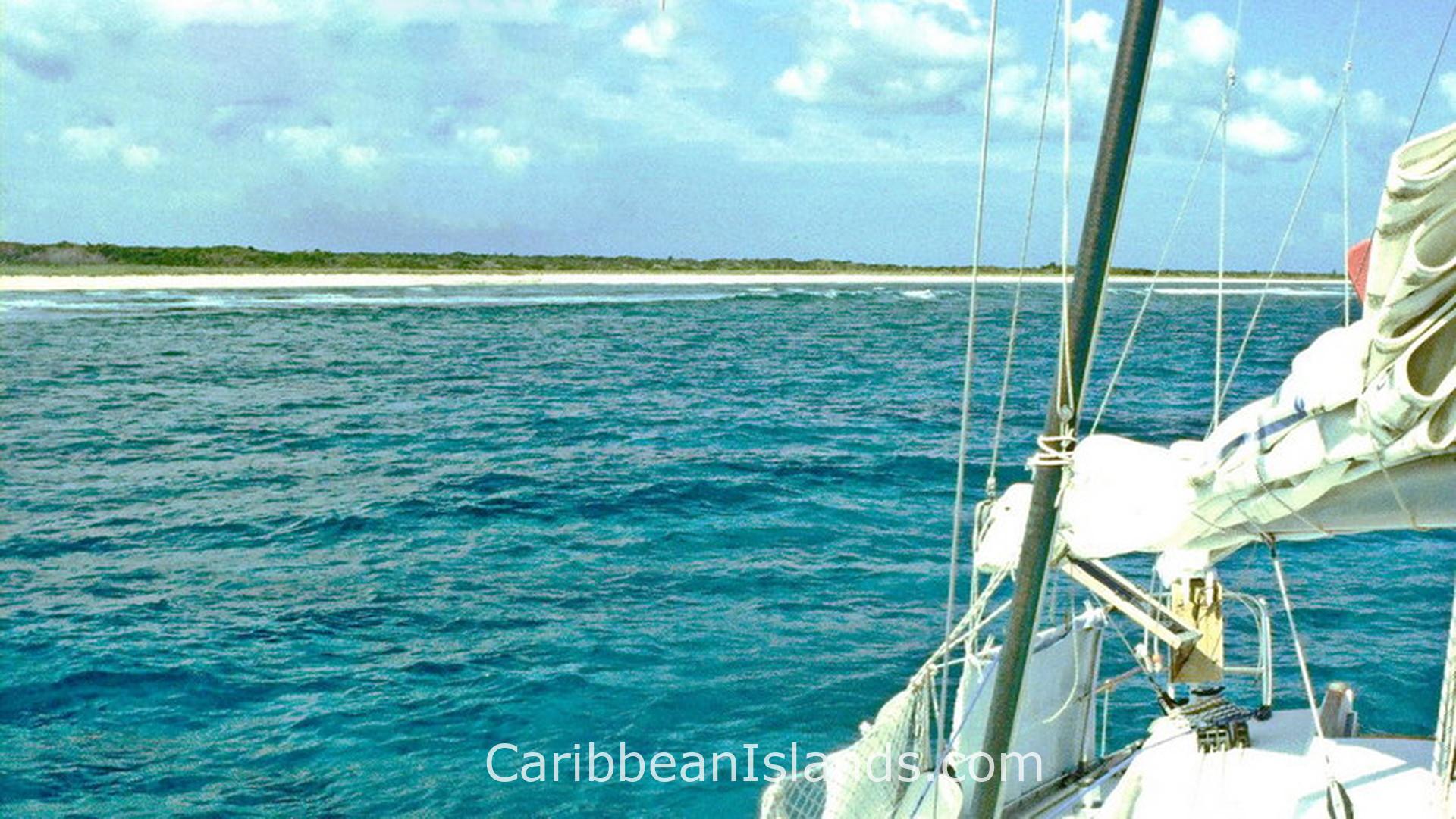
Mayaguana è l'isola più orientale delle Bahamas, situata a circa 100 chilometri a nord di Great Inagua e 100 chilometri a nord-ovest delle Isole Turks e Caicos. La sua popolazione era di 277 abitanti al censimento del 2010, distribuiti in tre insediamenti: Abraham's Bay sulla costa meridionale, Pirate's Well nel nord-ovest e Betsy Bay nell'est. L'isola non dispone di banche né di sportelli bancomat. Le sistemazioni sono limitate a un piccolo numero di pensioni. Mayaguana è una delle poche isole delle Bahamas a conservare ancora il suo nome originale Lucayan, che significa terra minore del medio-ovest.
- Aeroporto più vicino: Mayaguana Airport, Abraham's Bay (MYG / MYMM)
- Clima: Tropicale. Caldo e secco da dicembre ad aprile, caldo e umido da giugno a ottobre.
Perché visitare Mayaguana
La maggior parte dei visitatori arriva per la pesca e per l'assenza di altri turisti. Le barriere coralline che circondano l'isola ospitano cernie, aragoste spinose, dentici e tonni in acque che non subiscono quasi alcuna pressione di pesca da parte dei turisti. La pesca al bonefish nelle zone di bassofondo è eccezionale. La posizione dell'isola tra l'Oceano Atlantico e il profondo Mayaguana Passage, il canale che la separa da Acklins a ovest, crea condizioni marine variegate vicino alla costa.
Booby Cay, al largo della costa settentrionale, ospita centinaia di iguane che si trovano solo a Mayaguana, una popolazione endemica distinta che non si trova in nessun altro luogo. I fenicotteri delle Indie occidentali si nutrono tutto l'anno a Blackwood Point, vicino a Pirate's Well. La parte orientale dell'isola è la zona ideale per catturare granchi di terra dopo il tramonto. Il birdwatching e la caccia ai granchi sono due delle poche attività organizzate sull'isola.
La storia di Mayaguana
I Lucayan Taíno vivevano qui prima di Colombo. Dopo che gli spagnoli li rimossero all'inizio del XVI secolo, Mayaguana rimase disabitata per quasi 300 anni. Il ripopolamento iniziò nel 1812, quando le persone migrarono dalle Isole Turks e Caicos a sud-est. I loro discendenti costituiscono la maggior parte della popolazione odierna.
Il 3 agosto 1861, lo sloop della Royal Navy HMS Driver fece naufragio sulle barriere coralline di Mayaguana. La HMS Driver fu la prima nave a vapore a circumnavigare il globo, completando il viaggio nel 1847. Il relitto si trova al largo ed è uno dei pochi siti storici documentati sull'isola.
Durante gli anni '50 e '60, l'esercito degli Stati Uniti costruì una stazione di tracciamento missilistico su quello che oggi è il Mayaguana Airport. La pista fu costruita dagli ingegneri dell'esercito americano per tracciare i missili lanciati da Cape Canaveral durante il Progetto Mercury della NASA e il programma Apollo. La stazione manteneva gli astronauti sulla rotta corretta. L'infrastruttura lasciata in eredità è diventata l'aeroporto commerciale dell'isola.
Cosa troverete
Mayaguana è lunga 24 miglia e larga 6 miglia nel suo punto più ampio. Il terreno è costituito da foresta secca, latifoglie e macchia, con lignum vitae e cascarilla che crescono ovunque. L'isola non ha semafori né sviluppi commerciali oltre ai tre piccoli insediamenti. Il sistema stradale collega gli insediamenti lungo la costa, ma lascia inaccessibili ampie sezioni dell'interno e le coste orientali e settentrionali più remote. Le spiagge sono ampie, incontaminate e deserte nella maggior parte dei giorni. Le barriere coralline sottomarine, sia sul lato riparato che su quello esposto dell'isola, offrono la possibilità di fare snorkeling indipendentemente dalla direzione del vento, una conseguenza dell'orientamento est-ovest dell'isola.
Le isole delle Bahamas

Isola di Grand Bahama

Abaco, Bahamas

Exumas, Bahamas

Eleuthera e Harbour Island, Bahamas

Bimini, Bahamas

Andros, Bahamas

Isole Berry, Bahamas

Cat Island, Bahamas

Long Island, Bahamas

San Salvador, Bahamas

Inagua, Bahamas

Isole Crooked e Acklins, Bahamas
Mayaguana, Bahamas
