
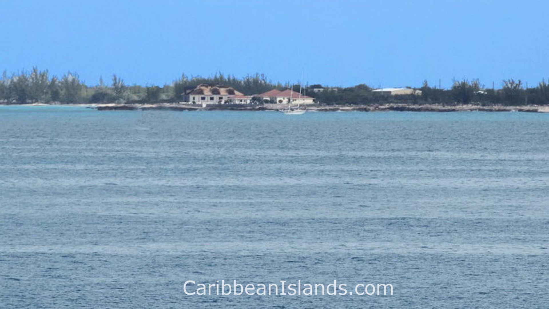
Great Inagua es la isla más meridional de las Bahamas, la tercera más grande y la más remota. Se encuentra a unos 88 kilómetros del extremo oriental de Cuba, lo suficientemente cerca como para que las montañas cubanas sean visibles desde el faro de la isla en días despejados. La población permanente es de aproximadamente 1.000 personas. La población de flamencos del Caribe supera los 80.000 ejemplares. Los flamencos superan en número a los residentes en una proporción de más de 80 a uno.
- Aeropuerto más cercano: Aeropuerto de Great Inagua, Matthew Town (IGA / MYIG)
- Clima: Tropical seco. Es la isla más cálida y seca de las Bahamas. Los vientos alisios proporcionan cierto alivio durante todo el año.
Por qué la gente visita Inagua
El Parque Nacional de Inagua cubre aproximadamente la mitad de Great Inagua, cerca de 74.000 hectáreas de humedales, salinas y lagos. Es el lugar donde se encuentra la mayor colonia reproductora de flamencos del Caribe en el mundo. Los flamencos se alimentan de artemias en las salinas. Las artemias se alimentan de algas. Las algas crecen en parte gracias a los excrementos de los flamencos. La producción de sal y los flamencos existen en un ciclo cerrado, donde cada uno sostiene al otro. Los visitantes deben entrar al parque con un guía organizado a través del Bahamas National Trust. El parque cuenta con poca infraestructura y el interior se alcanza a través de caminos sin asfaltar.
La vida aviar va más allá de los flamencos. Más de 140 especies viven en Inagua o migran a través de ella, incluyendo el loro de las Bahamas, la espátula rosada, el sirirí caribeño y un colibrí que no se encuentra en ningún otro lugar. El lago Windsor, también llamado lago Rosa, se extiende 19 kilómetros a través del interior y ocupa casi una cuarta parte de la isla. La mayor parte de la actividad de los flamencos se centra en este lago y en los humedales circundantes.
El buceo en Inagua atrae a quienes conocen la zona. Galeones españoles cargados de tesoros naufragaron en los arrecifes de Inagua a lo largo de los siglos. Los más documentados son el Santa Rosa, perdido en 1599, y el Infanta, perdido en 1788. Ambos transportaban tesoros. Ninguno de los dos ha sido recuperado por completo.
Qué dio origen a Inagua
Los taínos lucayos llegaron entre los años 500 y 800 d.C., cruzando desde La Española o Cuba. Los españoles llamaron a la isla Heneagua, que significa que allí se encuentra agua. Tras la desaparición de los lucayos, Inagua fue ignorada en gran medida hasta el siglo XIX. La sal fue la razón por la que la gente llegó. Las condiciones naturales —pocas precipitaciones, terreno llano, vientos alisios constantes— hacen que Inagua sea ideal para la producción de sal solar. La empresa Morton Salt Company opera en la isla desde finales de la década de 1930 y hoy produce un millón de toneladas de sal marina al año, lo que la convierte en la segunda mayor operación de salinas solares de Norteamérica. Matthew Town, el único asentamiento y puerto de la isla, lleva el nombre de George Matthew, un gobernador de las Bahamas del siglo XIX que lo diseñó durante su mandato.
A principios de la década de 1950, la caza, el saqueo de huevos y las molestias causadas por las aeronaves habían reducido la población de flamencos en Inagua a unos 100 ejemplares. En 1952, el ornitólogo Robert Porter Allen llegó de la Audubon Society para evaluar la situación. Encontró a las aves en un ritual de cortejo en los lagos superiores junto al guía local Sam Nixon, quien se convirtió en el primer guardián de flamencos de la isla. El Bahamas National Trust estableció el Parque Nacional de Inagua en 1965. Desde entonces, la población de flamencos se ha recuperado hasta superar los 80.000 ejemplares, una de las recuperaciones de fauna más significativas del Caribe.
Qué encontrará
Great Inagua es plana y calurosa, cubierta de salinas, humedales y matorrales bajos. La instalación de Morton Salt cerca de Matthew Town produce colinas de cloruro de sodio blanco visibles desde la distancia. El faro de Matthew Town es uno de los tres únicos faros de queroseno de accionamiento manual que siguen funcionando en las Bahamas. La Reserva de Union Creek, en la costa noroeste, protege a las tortugas verdes y carey en peligro de extinción en un entorno de manglares mareales.
Little Inagua se encuentra a 8 kilómetros al noreste y está deshabitada. Un arrecife protector que se extiende hasta un kilómetro y medio desde la costa en todas direcciones la hace inaccesible para la mayoría de las embarcaciones. La isla es un parque nacional. Cabras y burros salvajes viven allí, descendientes del ganado dejado por los colonos franceses hace generaciones. Tortugas marinas en peligro de extinción anidan en sus playas. El acceso es solo en embarcaciones pequeñas y no hay infraestructura.
Las islas de las Bahamas

Isla Gran Bahama

Abacos, Bahamas

Exumas, Bahamas

Eleuthera y Harbour Island, Bahamas

Bimini, Bahamas

Andros, Bahamas

Islas Berry, Bahamas

Isla Cat, Bahamas

Long Island, Bahamas

San Salvador, Bahamas
Inagua, Bahamas

Islas Crooked y Acklins, Bahamas

Mayaguana, Bahamas
